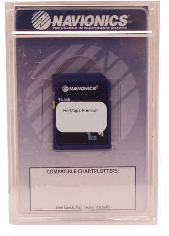
Detailed lake charts favored by tournament anglers and locals alike!
- A clear, easy-to-use display of all detail from the best sources available! Search the lake list below for your favorite lakes.
- From shoreline to deep water, Nautical Charts includes boat ramps and docks, spot soundings, contours and underwater structure such as road beds, bridges, stumps, culverts and creek channels.
- Benefit from valuable local edits made by Navionics mobile app users, like bait shops, fuel docks, seasonal buoys and fishing spots.
- HotMaps Premium is compatible with chartplotters from most leading manufacturers. Mfg No: Msd/Prem-W6 Manufacturer: Navionics
Shipping Information Weight: 0.25 pounds. Dimensions: 7.5 (L) x 5.25 (W) x 1 (H) inches.:
265350
No reviews yet
Be the first to review this item.
Shipping
Enter your ZIP code for an exact shipping cost on this item.
Hazardous-materials fees, where they apply, are included in the total shown.