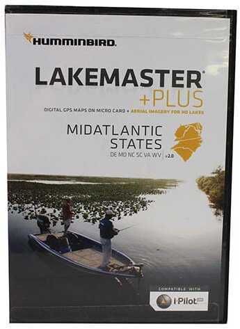
Humminbird Mid Atlantic States Plus, February 2017 Md: 600043-4
Item #11180951MPN 600043-4UPC 082324050039
Humminbird Mid Atlantic States Plus, February 2017 Md: 600043-4
The MidAtlantic States PLUS, Version 2.0 map card has many standard and high definition lake maps for Delaware, Maryland, North Carolina, South Carolina, Virginia, West Virginia. The PLUS series allows for aerial images to overlay onto high definition waters, in addition to existing LakeMaster features.
Now you have the ability to use quality aerial photography to view the entry and exits of creek channels, see how far a reef or weed line extends, and pick out shallow - water rock piles, steep drop-offs or other features of the lake you've been missing from traditional maps.
Features :
- Aerial Only
- Aerial + LakeMaster Contours
- Aerial + Contours Only
Includes :
- Micro card with SD adapter
- Waterproof carrying case
Specifications :
- Compatible with iPilot
- States Covered: Delaware, Maryland, North Carolina, South Carolina, Virginia, West Virginia
No reviews yet
Be the first to review this item.
Shipping
Enter your ZIP code for an exact shipping cost on this item.
Hazardous-materials fees, where they apply, are included in the total shown.